Radar vs. other technologies for mobile & industrial uses
Radar sensors, 3D cameras, LiDAR, and ultrasonic sensors measure distance or area in various mobile and industrial applications. Choosing the right technology for a specific application is critical for consistent, accurate monitoring, and reliable operation.
The landscape for these technologies is a mix of application demands and technology enablers:
- Industrial automation often requires object detection, level or height measurement, area monitoring, and more.
- Innovations such as mobile robotics and autonomous vehicles have introduced new, complex use cases, particularly for obstacle detection and collision avoidance.
- Sensor fusion, or combining radar with cameras, LiDAR, and ultrasonics, is increasingly popular for complex, safety-critical tasks in robotics and autonomous vehicles.
- New breakthroughs in radar technology make industrial and mobile radar sensors more suitable in cases where other technologies previously excelled or struggled.
This guide helps determine if radar fits an application by exploring:
- How each technology works
- Their features and different types
- The advantages and disadvantages of each
- Applications where each one is most popular
- Innovations and sensor fusion
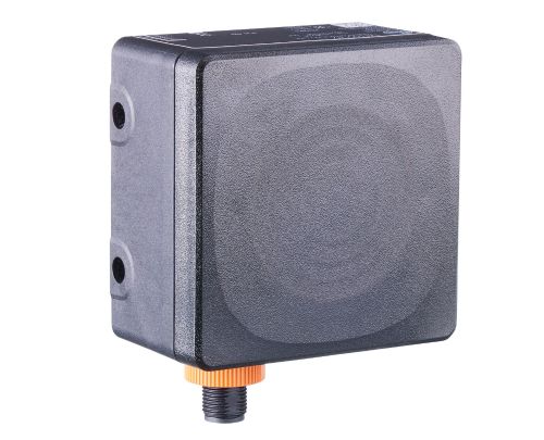
- Radar is capable of all-weather, long-range perception. It originated in the 1930s as a military detection technology. It rapidly evolved through microwave miniaturization and FMCW modulation into today’s compact 24–122 GHz solid-state industrial and automotive sensors.
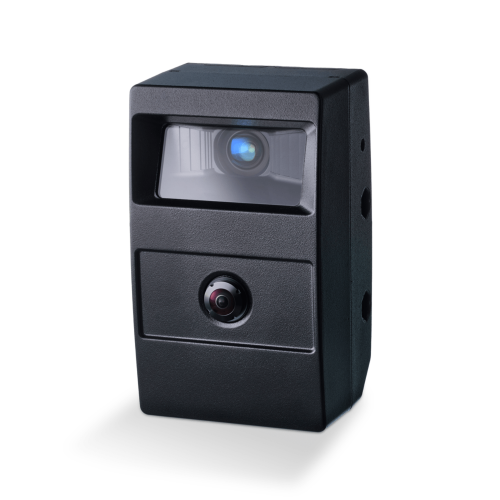
- LiDAR is cornerstone of modern 3D sensing for robotics and autonomous systems through solid-state and photonic integration. It emerged in the 1960s following the invention of the laser and first served aerospace and topographic mapping.
- Ultrasonic sensing is the most economical short-range distance-measurement technology for parking assistance, level sensing, and low-cost automation. Its origins trace back to early 20th-century sonar. The technology evolved thanks to advances in piezoelectric materials and digital electronics.
|
Radar, LiDAR and ultrasonic sensing: Milestones and innovations |
|
|---|---|
|
1910s |
|
|
1930s |
|
|
1950s-1960s |
|
|
1970s-1980s |
|
|
1990s |
|
|
2000s |
|
|
2010s-2020s |
|
Choosing a radar sensor vs. 3D cameras, LiDAR, or ultrasonic for an application generally comes down to four key considerations:
- Range and resolution: Is precision or range more important?
- Best for environment: Will the sensor face harsh outdoor or indoor conditions?
- Media/target type: What kinds of media will the sensor detect or measure?
- Budget: Do the technology benefits outweigh the costs?
Industrial applications
| Technology | Excels at | Weakest at | Range & resolution | Environment | Media/target | Budget |
|---|---|---|---|---|---|---|
| Radar | Maximum range, environmental robustness, universal surface compatibility | Cost competitiveness, media compatibility | Excellent range with good precision; best when both are needed | Superior for harsh industrial environments—dust, temperature extremes, moisture, contaminants | Works with any surface type—metallic, transparent, irregular, or dark materials | Highest cost; justified when environmental challenges make other technologies impractical |
| LiDAR | Precision and resolution, 3D mapping, object recognition | Cost competitiveness, environmental robustness in harsh conditions | Excellent combination of long range with highest precision; ideal for detailed 3D measurements | Poor for harsh industrial conditions—struggles with dust, steam, fog, and contaminants that scatter laser light | Excellent for mapping complex geometries; limited by highly reflective or transparent surfaces | Most expensive option (comparable to 3D cameras); justified for safety-critical applications requiring maximum precision |
| Ultrasonic | Cost competitiveness, good resolution within range | Range, environmental robustness, process speed | Good precision but extremely limited range | Poor for harsh conditions—dust, humidity, temperature variations degrade performance | Moderate compatibility; works with most solid surfaces but struggles with foam, fabrics | Most affordable option; best when budget is primary constraint and conditions are controlled |
Mobile applications
| Technology | Excels at | Weakest at | Range & resolution | Environment | Media/target | Budget |
|---|---|---|---|---|---|---|
| Radar | Long range, velocity measurement, environmental robustness, all lighting conditions | Long range, velocity measurement, environmental robustness, all lighting conditions | Best for long-range detection where velocity matters more than fine detail | Ideal for harsh outdoor conditions—rain, fog, snow, day/night operation | Detects all objects regardless of color or material; cannot distinguish visual details | Mid-range cost; excellent value for all-weather reliability |
| LiDAR | Long range, highest resolution/accuracy, object recognition, dark light performance | Cost competitiveness, bright light performance | Superior combination of both—ideal when precision at distance is critical | Good for controlled outdoor conditions; struggles in bright sunlight | Excellent 3D mapping of all objects; limited by highly reflective surfaces | Most expensive option; best for safety-critical applications requiring precision |
| Ultrasonic | Resolution/accuracy at close range, cost competitiveness, all lighting conditions | Range, velocity measurement | High precision at very short distances only | Consistent performance regardless of lighting; moderate weather tolerance | Detects all solid objects at close proximity; limited material discrimination | Most affordable; ideal for simple proximity detection |
| 2D camera | Resolution/accuracy, object recognition, color/contrast detection | Environmental robustness, lighting sensitivity | Excellent resolution at moderate range; best for detailed visual analysis | Poor for harsh conditions; struggles in extreme bright/dark and adverse weather | Only technology reading signs, lane markings, traffic lights; requires visual information | Moderate cost; good value when color/visual recognition is essential |
Radar vs. other sensor technologies
Radar vs. ultrasonic
Radar is better for long-range object detection and distance/level measurement in challenging environments. Ultrasonic is better forshort-range proximity detection and liquid level measurement in still environements. Radar costs slightly more but is more versatile.
Radar vs. LiDAR
Radar is better for all-weather robustness and cost-effective mid-range sensing, or when detecting shiny, dull, dusty, or dirty objects. LiDAR is better for high-precision 3D mapping in clearer environments where cost is less critical.
Radar vs. 3D Cameras
Radar is better for general-purpose, rugged sensing and mid-range measurements; 3D cameras are better for applications demanding rich spatial scene understanding and object classification in controlled lighting. 3D cameras are significantly more expensive.
Expanded radar capabilities
Cutting-edge radar sensors use frequency-modulated controlled wave (FMCW) radar technology and 4GHz bandwidth for significantly better detail and range resolution. They approach the abilities of LiDAR and 3D in those regards at a lower price point. Most notably, they provide these enhanced abilities in harsh environments where other technologies struggle.
Sensor fusion: Combining technologies
Given each technology's varied features and limitations, combining two or more technologies can fulfill all application requirements. This approach is most common in safety-critical applications requiring human recognition. Robust spatial data awareness, precise navigation, and real-time processing in challenging conditions are essential in mobile robotics and automated guided vehicles. In these cases, machines or robots with little to no human oversight may interact with people, making safety especially important.
How sensor fusion works
- Low-level fusion (Raw data fusion) combines raw measurements before interpretation. Example: Merging LiDar point clouds and radar Doppler points.
- Mid-level fusion (Feature fusion) first extracts features (e.g., edges, objects, velocity), then merges features from multiple sensors for enhanced detection.
- High-level fusion (Decision fusion) allows each sensor to make its own decision. They system either chooses which signal is correct, or blends decisions.
Benefits of Sensor Fusion
- Increased accuracy: Combining sensors reduces noise and uncertainty
- Better reliability: Other sensors compensate when one sensor degrades
- Richer understanding: Different sensors capture geometry, color, speed, depth, and classification
- Greater safety: Fused data reduces false positives/negatives.
- Expanded use cases: Greater autonomy for smart factories, mobile equipment, and complex motion control